Events
Time and place, stitched to the record.
Archival events — exhibitions, incidents, meetings, field expeditions — as proper entities with dates, participants, and locations. Render them as timelines or plot them on a map.
Dublin CorePREMIS eventsGeoJSON export
- Views
- Timeline · Map · List
- Participants
- People & Orgs
- Location
- GIS-ready
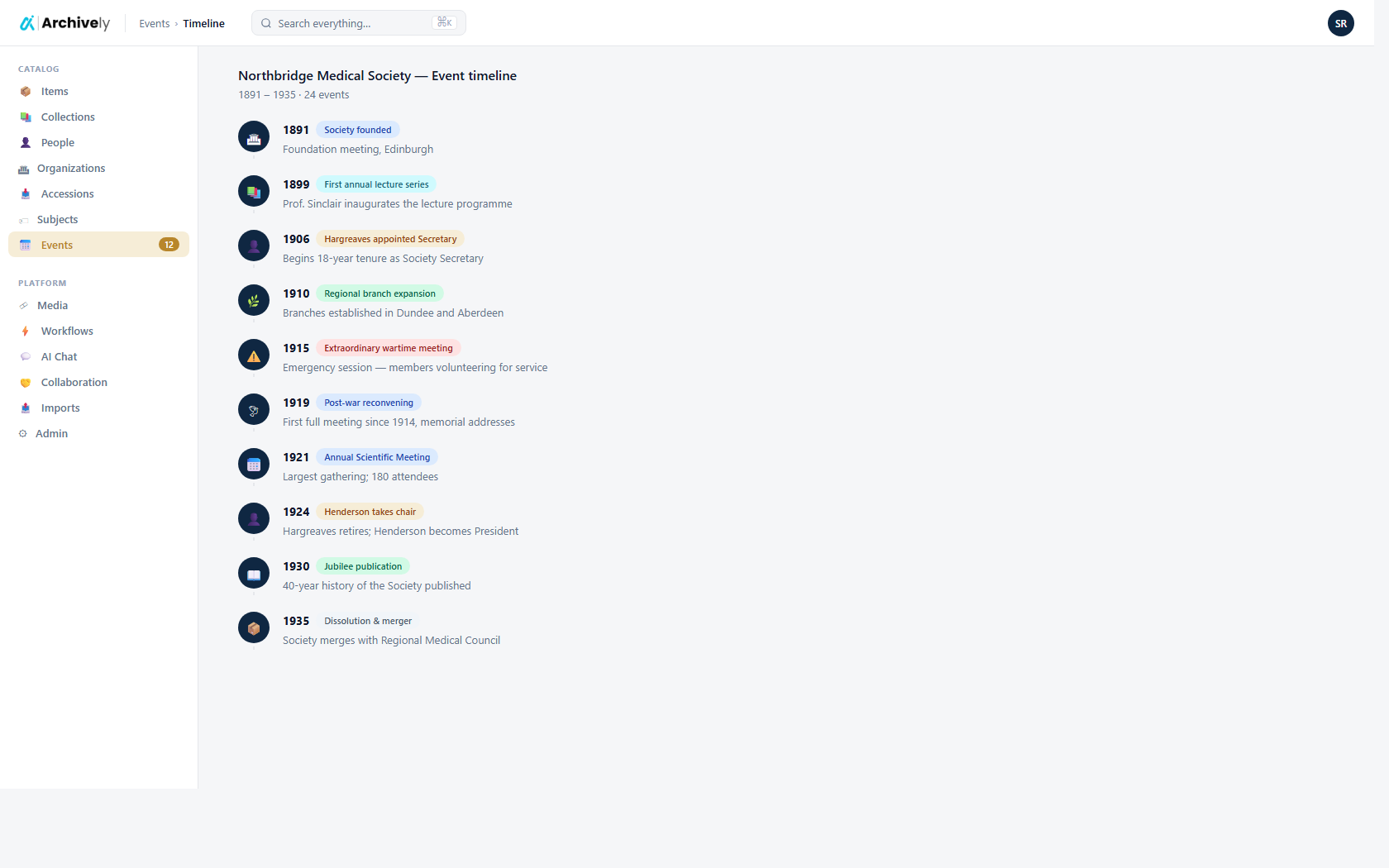
Events woven through the archive.
Link an event to the items that document it, the people who participated, and the organizations that hosted or sponsored it. Researchers trace context in both directions.
- Start/end dates with approximate and fuzzy support
- Participants and organizers as entity links
- Related items, collections, and publications
archively.ai/events/timeline
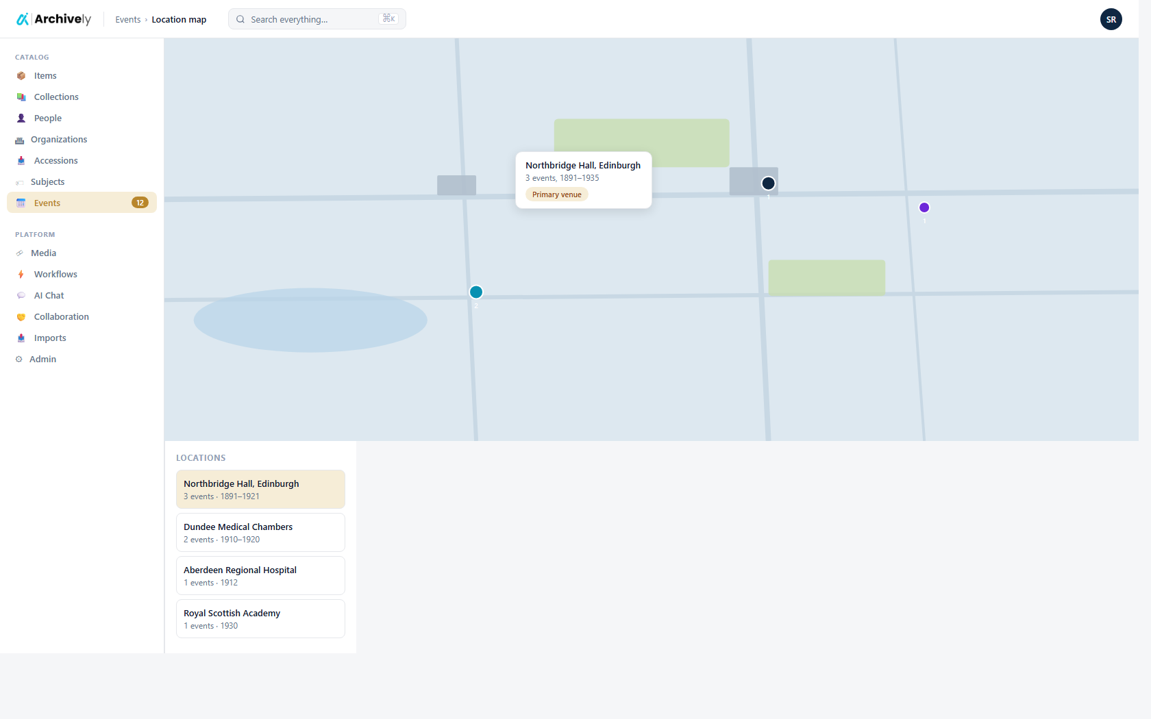
Location maps across the archive.
Pin events and items to coordinates or named places. Render the whole collection on a map — or zoom into a single event site.
- Point, polygon, and named-place locations
- Gazetteer integration (GeoNames on the roadmap)
- Export GeoJSON for GIS workflows
archively.ai/events/map
Ready to see it on your collection?
Load a few records. Run the AI. Review and publish — before lunch.